
It often crosses our minds, especially during the race, why are we doing this. What pushes us to train so hard, spend our "holiday savings" on it and dedicate so much time and energy in preparation and during the race?
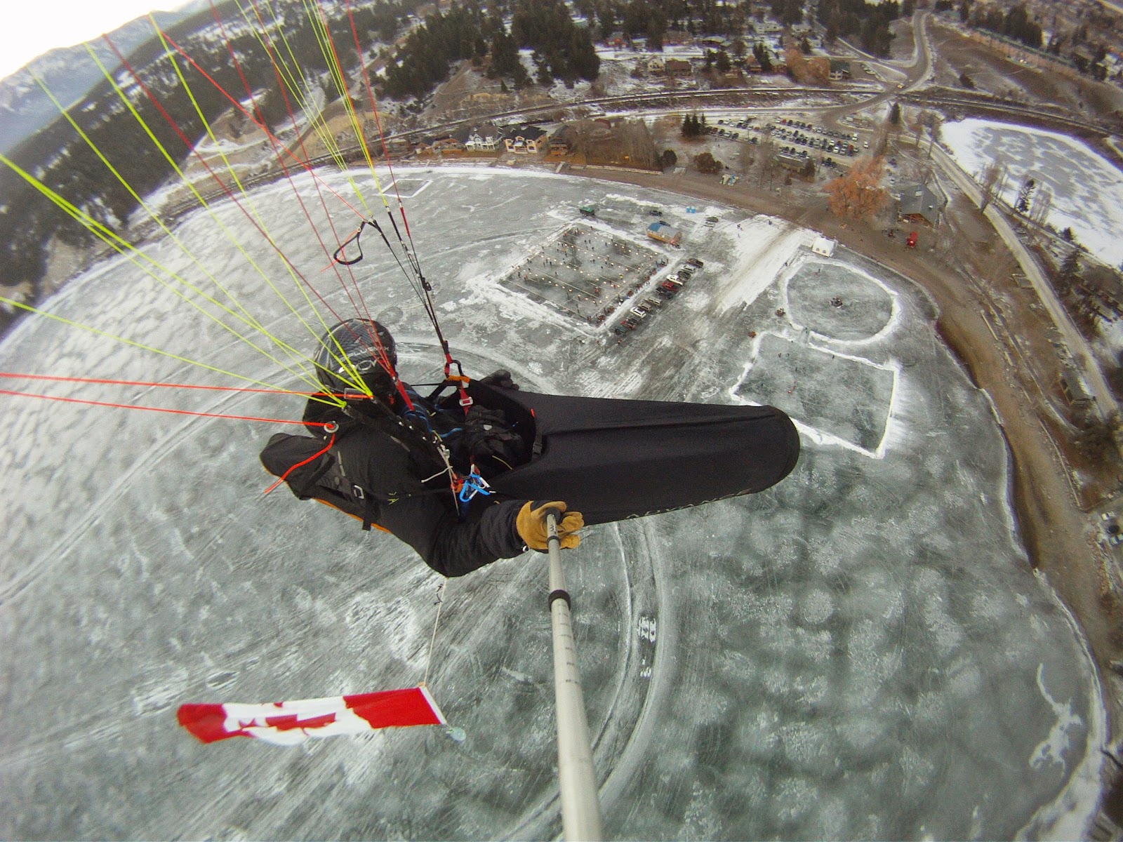
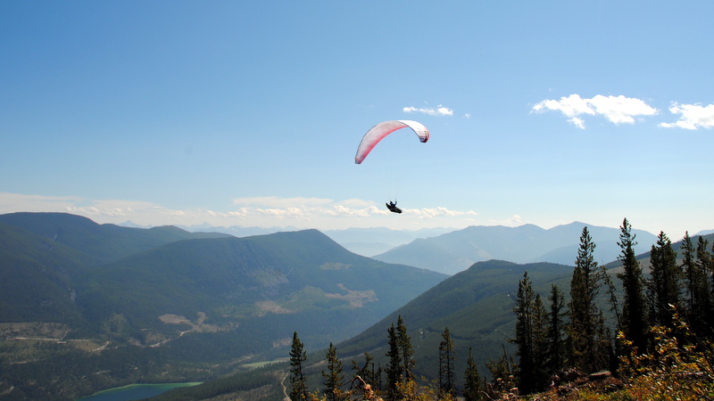
There is something very special about the xAlps, and something that no one will really understand unless they are part of it. However, one of the reasons for participating in it, is the adventure, which I share with my partner (Penny). The other is the mental aspect of the race, and to be able to do things you dream of. Many of which are hard to do on your own. Also the whole atmosphere of the xAlps, which includes everyone from the organizers, volunteers, supporters, sponsors and competitors. They are all like family or brotherhood, and everyone we have met over the years have played some sort of roll in our life, whether it be during the race or afterwards in a continued friendship or mentor.
We are very proud that we have been accepted/invited 4 times to this amazing race, to experience the adventure, and to meet and make so many new friends.

As you can see, with all this, and focusing on the new business, we will not have the time and dedication for the preparation and participation in the 2015 xAlps. For this reason we have chosen not to apply to represent Canada in the next xAlps.
This decision was no an easy one, but in reality you only have so much time in day and instead of spreading ourselves too thin with all these plans and projects, something had to give.
Thanks again to everyone who has cheered us on and supported us over the years, and who keep following our adventures through the available social media.
Max, Penny and the kids